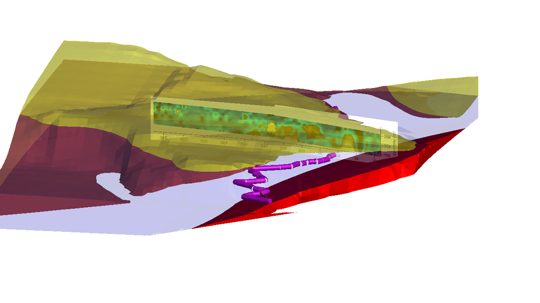
With a group of students from the University of Canterbury Engineering Geology program, I investigated the character of buried karst at the Cave Stream Reserve of Castle Hill Basin. We surveyed the cave using a laser distance meter and compass, then used RTK GPS to develop a high-resolution model of the Cave Stream carpark area. We integrated the cave and topography with geological mapping and scanline surveys in a Leapfrog model of the reserve. We then ran an MASW survey across the roof of the cave and incorporated the shear wave velocity map into the model.
Karst Cavity location with MASW