
Coastal erosion
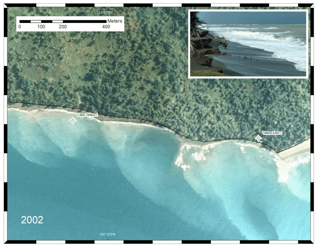
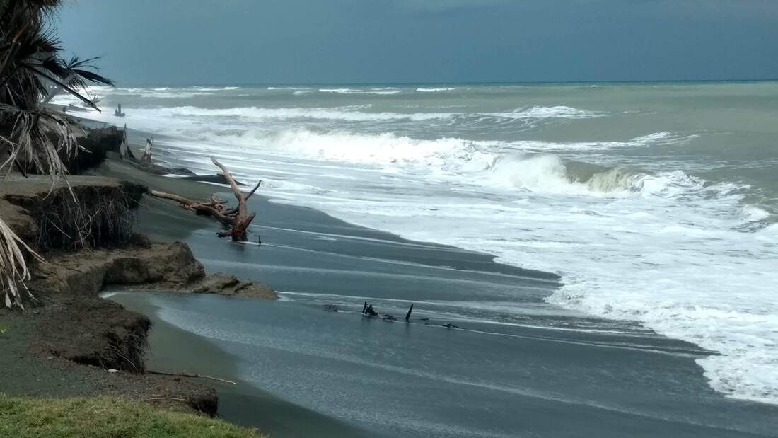
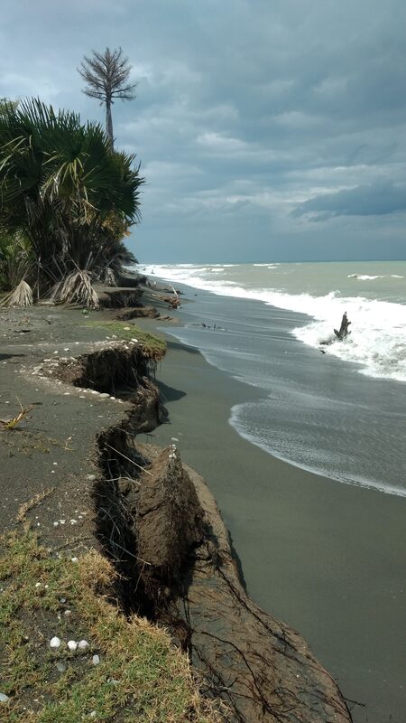
Cape Tafara, located south of Suai, is just south of the proposed Suai port. Two wells were drilled onshore in the 1960s and these are now located offshore and on the beach, illustrating the rates of coastal erosion at the site. This is clearly illustrated by a GIF comparing 2002 and 2013 aerial imagery, which show about 50-100 m of coastal erosion over that decade. The erosion is driven by an eddy in surface currents through the Timor Sea. The eddy passes the cape and then sweeps in a counter-clockwise direction, taking coastal sediment from the cape and sweeping it into the surface waters of the Indonesian Throughflow.